| Kokardine Western Australia | |
|---|---|
  Kokardine | |
| Coordinates | 30°41′S 117°11′E / 30.69°S 117.18°E |
| Elevation | 397 m (1,302 ft) |
| Location | |
| LGA(s) | Shire of Wongan-Ballidu |
| State electorate(s) | Moore |
| Federal division(s) | Durack |
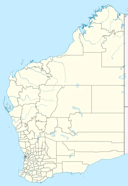
Kokardine is a locality in the Wheatbelt region of Western Australia, northwest of Koorda. It is located within the Shire of Wongan-Ballidu.[1]
The name Kokardine, which may mean "water in the grass", is derived from the Aboriginal name of a nearby soak, first recorded by a surveyor in 1892.[2]
History
In 1927, with the Ejanding North railway under construction between the towns now known as Amery and Kalannie, the Wongan Hills road board asked that a townsite be set aside at the siding and place later named Kokardine. The townsite was gazetted in 1929.[2]
See also
- CBH class – a class of locomotive, one of which is named after the locality
References
- ↑ "Map of Kokardine, WA". Bonzle Digital Atlas of Australia. Digital Atlas Pty Limited. Retrieved 12 September 2012.
- 1 2 "History of Country Town Names". Landgate website. Western Australian Land Information Authority. Retrieved 12 September 2012.
This article is issued from Wikipedia. The text is licensed under Creative Commons - Attribution - Sharealike. Additional terms may apply for the media files.