| Adelong | |
|---|---|
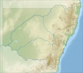  Location of the Adelong Creek mouth in New South Wales | |
| Location | |
| Country | Australia |
| State | New South Wales |
| Region | South West Slopes |
| IBRAs | |
| LGAs | |
| Physical characteristics | |
| Source | Australian Alps, Great Dividing Range |
| • location | southwest of Batlow |
| • coordinates | 35°32′3″S 148°4′40″E / 35.53417°S 148.07778°E |
| • elevation | 451 m (1,480 ft) |
| Mouth | Murrumbidgee River |
• location | near Gundagai |
• coordinates | 35°6′13″S 148°2′9″E / 35.10361°S 148.03583°E |
• elevation | 212 m (696 ft) |
| Length | 46 km (29 mi) |
| Basin features | |
| River system | Murrumbidgee catchment, Murray–Darling basin |
| Tributaries | |
| • right | Califat Creek |
| Waterfall | Adelong Falls |
| [1] | |
The Adelong Creek, a perennial river[2] that is part of the Murrumbidgee catchment within the Murray–Darling basin, is located in the South West Slopes, and Riverina regions of New South Wales, Australia.
Course and features
The Adelong Creek (technically a river[2]) rises below Wondalga, southwest of Batlow sourced by runoff from the Australian Alps, part of the Great Dividing Range. The creek flows generally north through the towns of Adelong and Tumblong, joined by one minor tributary, before reaching its confluence with the Murrumbidgee River southwest of Gundagai. The creek descends 239 metres (784 ft) over its 46-kilometre (29 mi) course.[1]
The river is crossed by the Snowy Mountains Highway at Adelong; and the Hume Highway at Tumblong.
See also
References
- 1 2 "Map of Adelong Creek, NSW". Bonzle Digital Atlas of Australia. Retrieved 8 December 2014.
- 1 2 "Adelong Creek". Geographical Names Register (GNR) of NSW. Geographical Names Board of New South Wales. Retrieved 8 December 2014.
External links
- Murrumbidgee Catchment Management Authority Archived 26 January 2014 at the Wayback Machine website
- "Murrumbidgee and Lake George catchments" (map). Office of Environment and Heritage. Government of New South Wales.
Rivers of the Murrumbidgee River catchment, New South Wales and the Australian Capital Territory, Australia | |||||
|---|---|---|---|---|---|
| |||||
| |||||

This article is issued from Wikipedia. The text is licensed under Creative Commons - Attribution - Sharealike. Additional terms may apply for the media files.