Amherst | |
|---|---|
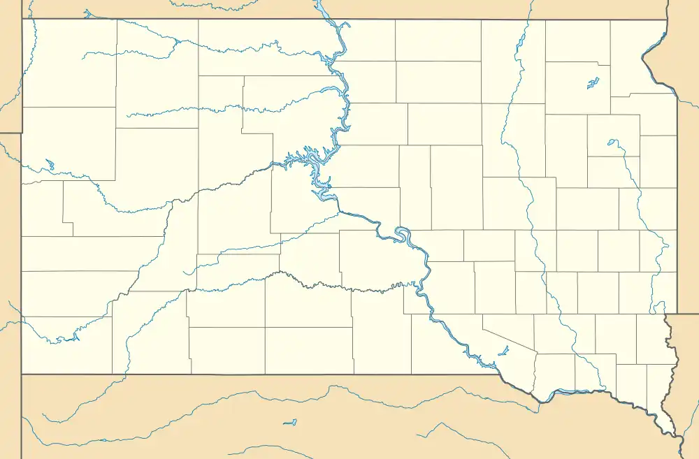  Amherst Location within the state of South Dakota 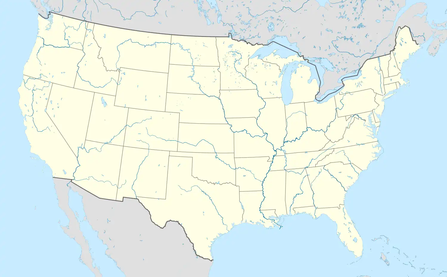 Amherst Amherst (the United States) | |
| Coordinates: 45°44′17″N 97°55′16″W / 45.73806°N 97.92111°W | |
| Country | United States |
| State | South Dakota |
| County | Marshall |
| Elevation | 1,309 ft (399 m) |
| Time zone | UTC-6 (Central (CST)) |
| • Summer (DST) | UTC-5 (CDT) |
| ZIP codes | 57421 |
| Area code | 605 |
| GNIS feature ID | 1253644[1] |
Amherst is an unincorporated community in Marshall County, South Dakota, United States.
History
A post office called Amherst was established in 1887.[2] The community most likely takes its name from Amherst, Massachusetts.[3]
Approximately two and half miles southeast of the village a rupture of the Keystone Pipeline caused what is being called the largest oil spill in South Dakota history on November 16, 2017.[4] The spill is an area about 100 yards in radius within a conservation reserve field about a mile east of 416 Avenue south of the village.[5]
References
- 1 2 U.S. Geological Survey Geographic Names Information System: Amherst, South Dakota
- ↑ "Marshall County". Jim Forte Postal History. Retrieved January 22, 2015.
- ↑ Federal Writers' Project (1940). South Dakota place-names, v.1-3. American guide series. University of South Dakota. p. 21.
- ↑ Schmidt, Kayleigh. (17 November 2017). "Landowner near Keystone Pipeline leak says he isn't surprised". KSFY website Retrieved 18 November 2017.
- ↑ Marvel, Shannon. (18 November 2017). "TransCanada: 'This is our responsibility, plain and simple' ". Aberdeen News website Retrieved 18 November 2017.
Municipalities and communities of Marshall County, South Dakota, United States | ||
|---|---|---|
| Cities | 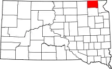 | |
| Towns | ||
| CDPs | ||
| Other communities | ||
| Indian reservation | ||
| Footnotes | ‡This populated place also has portions in an adjacent county or counties | |
This article is issued from Wikipedia. The text is licensed under Creative Commons - Attribution - Sharealike. Additional terms may apply for the media files.