Angecourt | |
|---|---|
 Angecourt village | |
.svg.png.webp) Coat of arms | |
Location of Angecourt | |
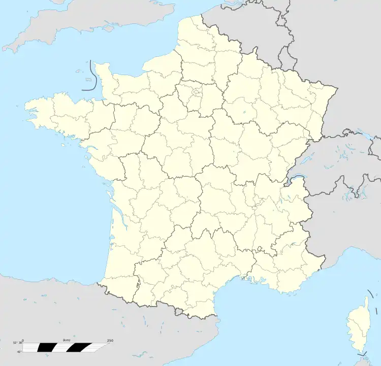  Angecourt 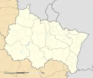 Angecourt | |
| Coordinates: 49°38′06″N 4°58′47″E / 49.635°N 4.9797°E | |
| Country | France |
| Region | Grand Est |
| Department | Ardennes |
| Arrondissement | Sedan |
| Canton | Vouziers |
| Intercommunality | Portes du Luxembourg |
| Government | |
| • Mayor (2020–2026) | Frédérique Kretzmeyer Zaltani[1] |
| Area 1 | 3.73 km2 (1.44 sq mi) |
| Population | 387 |
| • Density | 100/km2 (270/sq mi) |
| Time zone | UTC+01:00 (CET) |
| • Summer (DST) | UTC+02:00 (CEST) |
| INSEE/Postal code | 08013 /08450 |
| Elevation | 161–307 m (528–1,007 ft) (avg. 270 m or 890 ft) |
| 1 French Land Register data, which excludes lakes, ponds, glaciers > 1 km2 (0.386 sq mi or 247 acres) and river estuaries. | |
Angecourt (French pronunciation: [ɑ̃ʒkuʁ]) is a commune in the Ardennes department in the Grand Est region of northern France.
The inhabitants of the commune are known as Dadas[3]
The commune has been awarded one flower by the National Council of Towns and Villages in Bloom in the Competition of cities and villages in Bloom.[4]
Geography
Angecourt is located some 8 km south-east of Sedan and 7 km north-west of Mouzon. Access to the commune is by road D6 from Remilly-Aillicourt in the north-east which passes through the commune and the village and continues to Haraucourt in the south-west. About half of the commune in the south and east is forested with the rest farmland.[5]
The Ennemane flows through the commune from south-west to north-east to join the Coupure de Remilly at Remilly-Aillicourt.
Neighbouring communes and villages
Places adjacent to Angecourt | |
|---|---|


History
- From 1560 to 1642 Angecourt was part of the Principality of Sedan.
- Battle of Sedan (1940)
Heraldry
Arms of Angecourt |
The official status of the blazon remains to be determined
Blazon:
|
Administration
List of Successive Mayors
| From | To | Name |
|---|---|---|
| 2001 | 2020 | Jean-Claude Philippe[6] |
| 2020 | Current | Frédérique Kretzmeyer Zaltani |
Population
| Year | Pop. | ±% p.a. |
|---|---|---|
| 1968 | 416 | — |
| 1975 | 397 | −0.67% |
| 1982 | 407 | +0.36% |
| 1990 | 359 | −1.56% |
| 1999 | 350 | −0.28% |
| 2007 | 335 | −0.55% |
| 2012 | 401 | +3.66% |
| 2017 | 392 | −0.45% |
| Source: INSEE[7] | ||

Culture and heritage

Civil heritage
A Spinning Mill at 15 Rue du Chateau (19th century) is registered as an historical monument.[8]
Religious heritage
- The Church of Saint Médard contains a Funeral Plaque of Nicolas des Oudet (18th century)
 which is registered as an historical object.[9]
See also
References
- ↑ "Répertoire national des élus: les maires". data.gouv.fr, Plateforme ouverte des données publiques françaises (in French). 2 December 2020.
- ↑ "Populations légales 2021". The National Institute of Statistics and Economic Studies. 28 December 2023.
- ↑ Inhabitants of Ardennes (in French)
- ↑ Angecourt in the Competition for Towns and Villages in Bloom Archived December 10, 2014, at the Wayback Machine (in French)
- ↑ Google Maps
- ↑ List of Mayors of France
- ↑ Population en historique depuis 1968, INSEE
- ↑ Ministry of Culture, Mérimée IA08000311 Spinning Mill (in French)
- ↑ Ministry of Culture, Palissy PM08000023 Funeral Plaque of Nicolas des Oudet (in French)
External links