ar-Rihiya | |
|---|---|
| Arabic transcription(s) | |
| • Arabic | ريحيا |
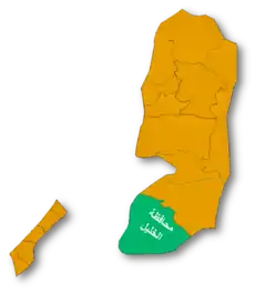
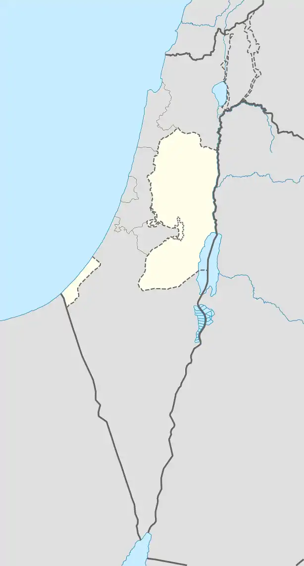  ar-Rihiya Location of ar-Rihiya within Palestine | |
| Coordinates: 31°28′13″N 35°04′30″E / 31.47028°N 35.07500°E | |
| Palestine grid | 157/097 |
| State | State of Palestine |
| Governorate | Hebron |
| Government | |
| • Type | Village council |
| Population (2017)[1] | |
| • Total | 5,754 |
| Name meaning | Possibly "The coiled-up snake"[2] |
Ar-Rihiya (Arabic: ريحيا) is a Palestinian town located six kilometers southwest of Hebron. The town is in the Hebron Governorate southern West Bank. According to the Palestinian Central Bureau of Statistics, the town had a population of over 5,754 in 2017.[1]
History
Ceramics from the Byzantine era have been found here.[3]
Ottoman era
French explorer Victor Guérin visited the place in 1863, which he called Khirbet el-Harayeh. Local fellahins inhabited ancient underground storage areas.[4]
In 1883, the PEF's Survey of Western Palestine described the place as being a "large ruin with caves and cisterns, appears to be an ancient site".[5]
British Mandate era
In the 1922 census of Palestine conducted by the British Mandate authorities, 'Al Rihiyeh had a population 231 inhabitants, all Muslims.[6] This had increased slightly at the time of the 1931 census to 243 Muslims, in 38 inhabited houses.[7]
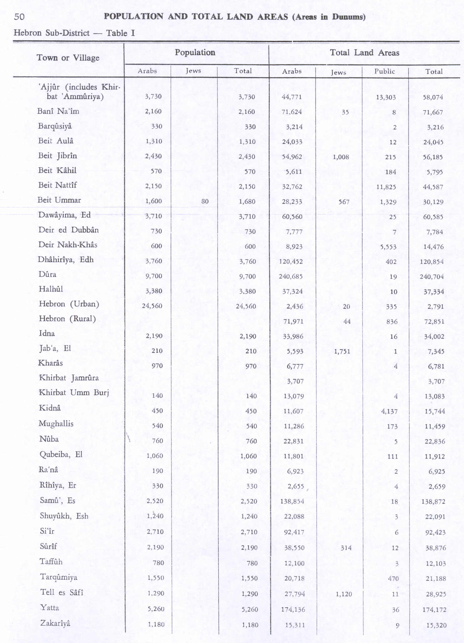
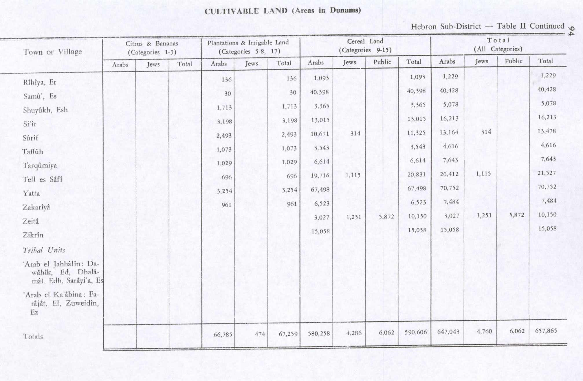
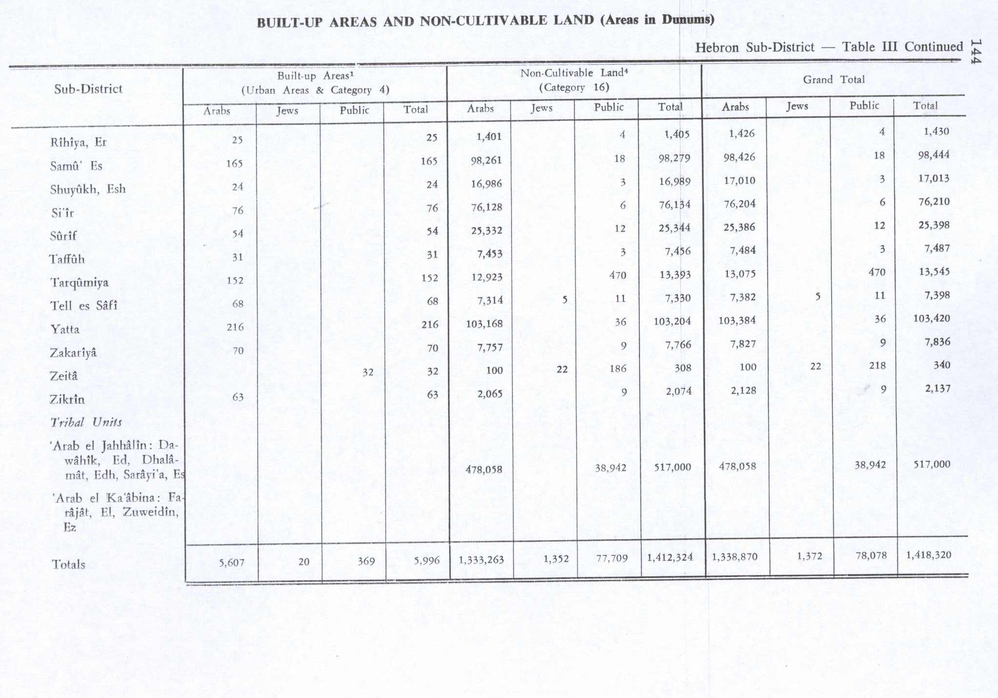
In the 1945 statistics the population of Ar-Rihiya was 330 Muslims,[8] who owned 2,659 dunams of land according to an official land and population survey.[9] 136 dunams were plantations and irrigable land, 1,093 for cereals,[10] while 25 dunams were built-up (urban) land.[11]
Jordanian era
In the wake of the 1948 Arab–Israeli War, and after the 1949 Armistice Agreements, Ar-Rihiya came under Jordanian rule. It was annexed by Jordan in 1950.
In 1961, the population of Rihiya was 555.[12]
Post-1967
Since the Six-Day War in 1967, Ar-Rihiya has been under Israeli occupation.
Footnotes
- 1 2 Preliminary Results of the Population, Housing and Establishments Census, 2017 (PDF). Palestinian Central Bureau of Statistics (PCBS) (Report). State of Palestine. February 2018. pp. 64–82. Retrieved 2023-10-24.
- ↑ According to Palmer, 1881, p. 405, the name might also come from "A millstone", or "A plot of ground, about a mile square, above the water level".
- ↑ Dauphin, 1998, p. 963
- ↑ Guérin, 1869, pp. 211 -212
- ↑ Conder and Kitchener, 1883, SWP III, p. 377
- ↑ Barron, 1923, Table V, Sub-district of Hebron, p. 10
- ↑ Mills, 1932, p. 33
- ↑ Government of Palestine, Department of Statistics, 1945, p. 23
- ↑ Government of Palestine, Department of Statistics. Village Statistics, April, 1945. Quoted in Hadawi, 1970, p. 50 Archived 2011-06-04 at the Wayback Machine
- ↑ Government of Palestine, Department of Statistics. Village Statistics, April, 1945. Quoted in Hadawi, 1970, p. 94
- ↑ Government of Palestine, Department of Statistics. Village Statistics, April, 1945. Quoted in Hadawi, 1970, p. 144
- ↑ Government of Jordan, Department of Statistics, 1964, p. 22
Bibliography
- Barron, J.B., ed. (1923). Palestine: Report and General Abstracts of the Census of 1922. Government of Palestine.
- Conder, C.R.; Kitchener, H.H. (1883). The Survey of Western Palestine: Memoirs of the Topography, Orography, Hydrography, and Archaeology. Vol. 3. London: Committee of the Palestine Exploration Fund.
- Dauphin, C. (1998). La Palestine byzantine, Peuplement et Populations. BAR International Series 726 (in French). Vol. III : Catalogue. Oxford: Archeopress. ISBN 0-860549-05-4.
- Government of Jordan, Department of Statistics (1964). First Census of Population and Housing. Volume I: Final Tables; General Characteristics of the Population (PDF).
- Government of Palestine, Department of Statistics (1945). Village Statistics, April, 1945.
- Guérin, V. (1869). Description Géographique Historique et Archéologique de la Palestine (in French). Vol. 1: Judee, pt. 3. Paris: L'Imprimerie Nationale.
- Hadawi, S. (1970), Village Statistics of 1945: A Classification of Land and Area ownership in Palestine, Palestine Liberation Organization Research Center
- Mills, E., ed. (1932). Census of Palestine 1931. Population of Villages, Towns and Administrative Areas. Jerusalem: Government of Palestine.
- Palmer, E.H. (1881). The Survey of Western Palestine: Arabic and English Name Lists Collected During the Survey by Lieutenants Conder and Kitchener, R. E. Transliterated and Explained by E.H. Palmer. Committee of the Palestine Exploration Fund.
External links
- Welcome To al-Rihiya
- Survey of Western Palestine, Map 21: IAA, Wikimedia commons
- Ar Rihiya Village (Fact Sheet), Applied Research Institute–Jerusalem, ARIJ
- Ar Rihiya Village Profile, ARIJ
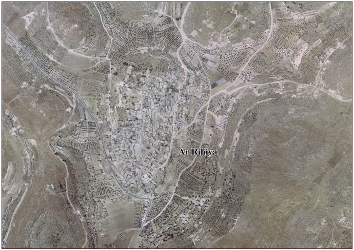
- Ar Rihiya VillageArea Photo, ARIJ
- The priorities and needs for development in Ar Rihiya village based on the community and local authorities’ assessment, ARIJ