Bennington, Indiana | |
|---|---|
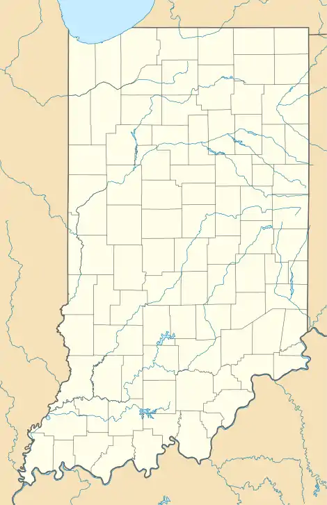  Bennington 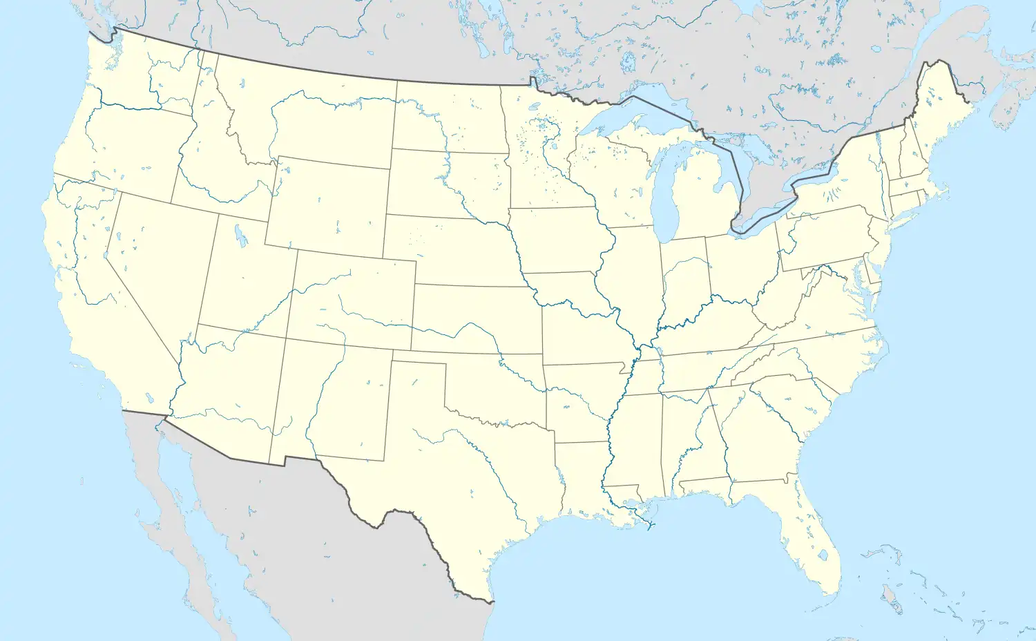 Bennington | |
| Coordinates: 38°51′32″N 85°8′26″W / 38.85889°N 85.14056°W | |
| Country | United States |
| State | Indiana |
| County | Switzerland |
| Township | Pleasant |
| Elevation | 889 ft (271 m) |
| Time zone | UTC-5 (Eastern (EST)) |
| • Summer (DST) | UTC-4 (EDT) |
| ZIP code | 47011 |
| Area codes | 812, 930 |
| GNIS feature ID | 430820 |
Bennington is an unincorporated community in central Pleasant Township, Switzerland County, in the U.S. state of Indiana.[2] Although Bennington is unincorporated, it has a post office, with the ZIP code of 47011.[3]
History
An old variant name of the community was called Slawson.[4] A post office was established under this name in 1838, and was renamed to Bennington in 1848. The post office is still currently operating.[5]
Geography
The community lies along the Bennington Pike north of the town of Vevay, the county seat of Switzerland County.[6] Its elevation is 889 feet (271 m), and it is located at 38°51′32″N 85°8′26″W / 38.85889°N 85.14056°W (38.8589483, -85.1405093).[7]
References
- ↑ "US Board on Geographic Names". United States Geological Survey. October 25, 2007. Retrieved November 4, 2016.
- ↑ "Bennington, Indiana". Geographic Names Information System. United States Geological Survey. Retrieved July 14, 2017.
- ↑ Zip Code Lookup Archived 2011-06-15 at the Wayback Machine
- ↑ "USGS detail on Bennington - Variant Citation". Retrieved November 4, 2016.
- ↑ "Switzerland County". Jim Forte Postal History. Retrieved August 25, 2016.
- ↑ DeLorme. Indiana Atlas & Gazetteer. 3rd ed. Yarmouth: DeLorme, 2004, p. 53, 59. ISBN 0-89933-319-2.
- ↑ Geographic Names Information System Feature Detail Report, Geographic Names Information System, 1979-02-14. Accessed 2008-06-01.
Municipalities and communities of Switzerland County, Indiana, United States | ||
|---|---|---|
| Towns | 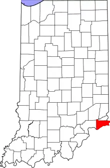 Map of Indiana highlighting Switzerland County | |
| Townships | ||
| CDPs | ||
| Other communities | ||
This article is issued from Wikipedia. The text is licensed under Creative Commons - Attribution - Sharealike. Additional terms may apply for the media files.