Chaplin, Kentucky | |
|---|---|
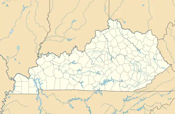  Chaplin, Kentucky  Chaplin, Kentucky | |
| Coordinates: 37°53′52″N 85°13′17″W / 37.89778°N 85.22139°W | |
| Country | United States |
| State | Kentucky |
| County | Nelson |
| Area | |
| • Total | 1.40 sq mi (3.63 km2) |
| • Land | 1.38 sq mi (3.58 km2) |
| • Water | 0.02 sq mi (0.04 km2) |
| Elevation | 824 ft (251 m) |
| Population (2020) | |
| • Total | 440 |
| • Density | 318.15/sq mi (122.86/km2) |
| Time zone | UTC-5 (Eastern (EST)) |
| • Summer (DST) | UTC-4 (EDT) |
| ZIP code | 40012 |
| Area code | 502 |
| GNIS feature ID | 489347[2] |
Chaplin is an unincorporated community and census-designated place in Nelson County, Kentucky, United States. Its population was 418 as of the 2010 census.[3] Chaplin has a post office with ZIP code 40012, which opened on January 4, 1832.[4][5] U.S. Route 62 passes through the community.
Geography
According to the U.S. Census Bureau, the community has an area of 1.400 square miles (3.63 km2); 1.383 square miles (3.58 km2) of its area are land, and 0.017 square miles (0.044 km2) is covered by water.[3]
Demographics
| Census | Pop. | Note | %± |
|---|---|---|---|
| 2020 | 440 | — | |
| U.S. Decennial Census[6] | |||
References
- ↑ "2020 U.S. Gazetteer Files". United States Census Bureau. Retrieved March 18, 2022.
- 1 2 "Chaplin". Geographic Names Information System. United States Geological Survey, United States Department of the Interior.
- 1 2 "2010 Census Gazetteer Files - Places: Kentucky". U.S. Census Bureau. Retrieved April 2, 2017.
- ↑ United States Postal Service. "USPS - Look Up a ZIP Code". Retrieved April 2, 2017.
- ↑ "Postmaster Finder - Post Offices by ZIP Code". United States Postal Service. Archived from the original on October 17, 2020. Retrieved April 2, 2017.
- ↑ "Census of Population and Housing". Census.gov. Retrieved June 4, 2016.
Municipalities and communities of Nelson County, Kentucky, United States | ||
|---|---|---|
| Cities | 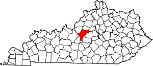 Location of Nelson County, Kentucky | |
| CDPs | ||
| Other unincorporated communities | ||
This article is issued from Wikipedia. The text is licensed under Creative Commons - Attribution - Sharealike. Additional terms may apply for the media files.