| Claxby Pluckacre | |
|---|---|
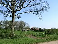 Hall Farm, Claxby Pluckacre | |
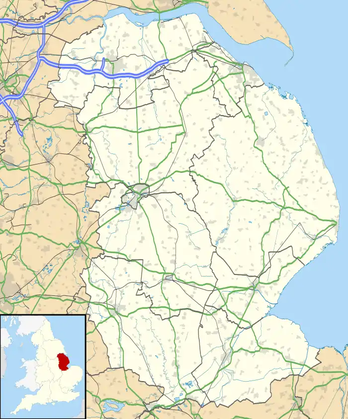  Claxby Pluckacre Location within Lincolnshire | |
| OS grid reference | TF304644 |
| • London | 115 mi (185 km) S |
| District | |
| Shire county | |
| Region | |
| Country | England |
| Sovereign state | United Kingdom |
| Post town | Boston |
| Postcode district | PE22 |
| Police | Lincolnshire |
| Fire | Lincolnshire |
| Ambulance | East Midlands |
| UK Parliament | |
Claxby Pluckacre is a hamlet in the East Lindsey district of Lincolnshire, England. It is situated approximately 5 miles (8.0 km) south-east from the town of Horncastle. It is in the civil parish of Wood Enderby.
Whilst Claxby Pluckacre is listed in the 1086 Domesday Book, today it is considered a deserted medieval village with slight earthworks visible between Hall Farm and The Grange.[1][2]
Claxby Pluckacre once had a church dedicated to Saint Andrew, which fell down in 1748[3] and was never rebuilt. The last priest was instituted 1660–62.[4] Whilst nothing remains it can be seen as earthworks.[1]
Each year, in July, there is an annual pilgrimage to the site of St Andrew's Church. The Mareham le Fen Victory Silver Band provides the music for a service which commemorates the over 250 villages and hamlets lost in Lincolnshire over the past four centuries.
References
- 1 2 Historic England. "Claxby Pluckacre DMV (354185)". Research records (formerly PastScape). Retrieved 26 June 2011.
- ↑ "Claxby Pluckacre SMV/DMV". Lincs to the Past. Lincolnshire Archives. Retrieved 26 June 2011.
- ↑ "Claxby Pluckacre church registers". Lincs to the Past. Lincolnshire Archives. Retrieved 23 April 2013.
- ↑ "Site of St Andrews Church". Lincs to the Past. Lincolnshire Archives. Retrieved 26 June 2011.
External links
 Media related to Claxby Pluckacre at Wikimedia Commons