Derby, Ohio | |
|---|---|
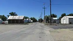 Looking northwest on London Road in Derby, Ohio | |
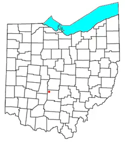 Location of Derby, Ohio | |
| Coordinates: 39°46′07″N 83°12′21″W / 39.76861°N 83.20583°W | |
| Country | United States |
| State | Ohio |
| County | Pickaway |
| Township | Darby |
| Population | |
| • Total | 355 |
| Time zone | UTC-5 (Eastern (EST)) |
| • Summer (DST) | UTC-4 (EDT) |
| ZIP | 43117 |
Derby is a census-designated place in central Darby Township, Pickaway County, Ohio, United States.[2] It is assigned the ZIP code 43117.[3] The population was 355 at the 2020 census.
History
Derby had its start when the railroad was extended to that point.[4] A post office was established at Derby in 1881.[5]
References
- ↑ "Derby CPD, Ohio - Census Bureau Profile". United States Census Bureau. Retrieved 5 August 2023.
- ↑ U.S. Geological Survey Geographic Names Information System: Derby, Ohio
- ↑ Zip Code Lookup
- ↑ Van Cleaf, Aaron R. (1906). History of Pickaway County, Ohio, and Representative Citizens. Unigraphic. p. 110.
- ↑ "Pickaway County". Jim Forte Postal History. Retrieved 28 December 2015.
Municipalities and communities of Pickaway County, Ohio, United States | ||
|---|---|---|
| City | 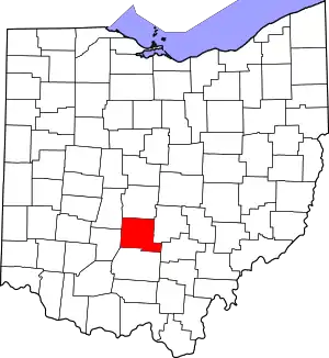 Map of Ohio highlighting Pickaway County | |
| Villages | ||
| Townships | ||
| CDPs | ||
| Unincorporated communities | ||
| Ghost town | ||
| Footnotes | ‡This populated place also has portions in an adjacent county or counties | |
This article is issued from Wikipedia. The text is licensed under Creative Commons - Attribution - Sharealike. Additional terms may apply for the media files.