Dubois Crossroads | |
|---|---|
 | |
  Dubois Crossroads  Dubois Crossroads | |
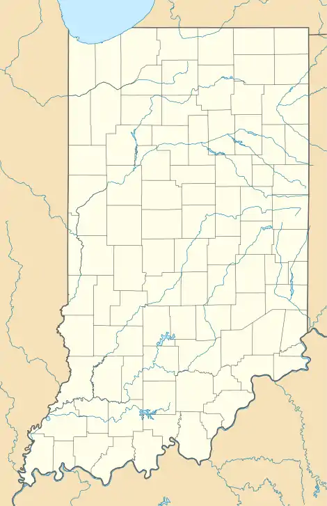
| Coordinates: 38°28′52″N 86°48′43″W / 38.48111°N 86.81194°W | |
| Country | United States |
| State | Indiana |
| County | Dubois |
| Township | Harbison |
| Elevation | 512 ft (156 m) |
| Time zone | UTC-5 (Eastern (EST)) |
| • Summer (DST) | UTC-4 (EDT) |
| ZIP code | 47527 |
| Area code | 812 |
| FIPS code | 18-18802[2] |
| GNIS feature ID | 433738 |
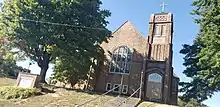
St. John's Lutheran Church in Dubois Crossroads
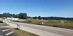
Dubois Crossroads is an unincorporated community in Harbison Township, Dubois County, in the U.S. state of Indiana.[3]
History
Dubois Crossroads had its start in the 1920s when a filling station opened at the intersection.[4]
Geography
Dubois Crossroads is located at 38°28′52″N 86°48′43″W / 38.48111°N 86.81194°W.
References
- ↑ "US Board on Geographic Names". United States Geological Survey. October 25, 2007. Retrieved July 5, 2016.
- ↑ "U.S. Census website". United States Census Bureau. Retrieved January 31, 2008.
- ↑ "Dubois Crossroads, Indiana". Geographic Names Information System. United States Geological Survey, United States Department of the Interior. Retrieved October 17, 2009.
- ↑ Baker, Ronald L. (October 1995). From Needmore to Prosperity: Hoosier Place Names in Folklore and History. Indiana University Press. p. 117. ISBN 978-0-253-32866-3.
...dates from 1928, when a gas station was established here.
External links
 Media related to Dubois Crossroads, Indiana at Wikimedia Commons
Municipalities and communities of Dubois County, Indiana, United States | ||
|---|---|---|
| Cities | 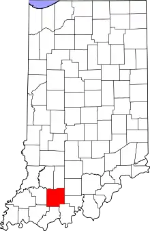 Map of Indiana highlighting Dubois County | |
| Towns | ||
| Townships | ||
| CDPs | ||
| Other communities | ||
| Ghost town | ||
| Footnotes | ‡This populated place also has portions in an adjacent county or counties | |
This article is issued from Wikipedia. The text is licensed under Creative Commons - Attribution - Sharealike. Additional terms may apply for the media files.