El Duende, New Mexico | |
|---|---|
  El Duende | |
| Coordinates: 36°04′27″N 106°07′12″W / 36.07417°N 106.12000°W | |
| Country | United States |
| State | New Mexico |
| County | Rio Arriba |
| Area | |
| • Total | 1.48 sq mi (3.84 km2) |
| • Land | 1.47 sq mi (3.80 km2) |
| • Water | 0.01 sq mi (0.04 km2) |
| Elevation | 5,695 ft (1,736 m) |
| Population | |
| • Total | 573 |
| • Density | 390.06/sq mi (150.64/km2) |
| Time zone | UTC-7 (Mountain (MST)) |
| • Summer (DST) | UTC-6 (MDT) |
| Area code | 505 |
| GNIS feature ID | 902820[3] |
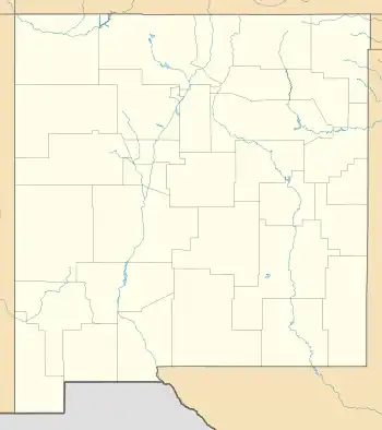
El Duende is an unincorporated community and census-designated place in Rio Arriba County, New Mexico, United States. Its population was 707 as of the 2010 census.[4] The community is located at the junction of U.S. Routes 84/285 and New Mexico State Road 74. El Duende means "the dwarf" in Spanish, but how and why it adopted this moniker is unknown.[5]
Geography
El Duende is located at 36°04′27″N 106°07′12″W / 36.0741889°N 106.1200240°W.[3] According to the U.S. Census Bureau, the community has an area of 1.483 square miles (3.84 km2); 1.469 square miles (3.80 km2) of its area is land, and 0.014 square miles (0.036 km2) is water.[4]
Demographics
| Census | Pop. | Note | %± |
|---|---|---|---|
| 2020 | 573 | — | |
| U.S. Decennial Census[6][2] | |||
Education
It is in Española Public Schools.[7] The comprehensive public high school is Española Valley High School.
References
- ↑ "ArcGIS REST Services Directory". United States Census Bureau. Retrieved October 12, 2022.
- 1 2 "Census Population API". United States Census Bureau. Retrieved October 12, 2022.
- 1 2 "El Duende". Geographic Names Information System. United States Geological Survey, United States Department of the Interior.
- 1 2 "2010 Census Gazetteer Files - Places: New Mexico". U.S. Census Bureau. Retrieved December 31, 2016.
- ↑ Julyan, Robert (1996). The Place Names of New Mexico. University of New Mexico Press. p. 118. ISBN 0826316891.
- ↑ "Census of Population and Housing". Census.gov. Retrieved June 4, 2016.
- ↑ "2020 CENSUS - SCHOOL DISTRICT REFERENCE MAP: Rio Arriba County, NM" (PDF). U.S. Census Bureau. Retrieved July 30, 2021.
Municipalities and communities of Rio Arriba County, New Mexico, United States | ||
|---|---|---|
| City | 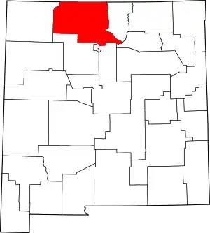 Map of New Mexico highlighting Rio Arriba County | |
| Village | ||
| CDPs |
| |
| Other communities | ||
| Ghost towns and former settlements | ||
| Indian reservations | ||
| Footnotes | ‡This populated place also has portions in an adjacent county or counties | |
This article is issued from Wikipedia. The text is licensed under Creative Commons - Attribution - Sharealike. Additional terms may apply for the media files.