Fort Littleton, Pennsylvania | |
|---|---|
Unincorporated community | |
  Fort Littleton  Fort Littleton | |
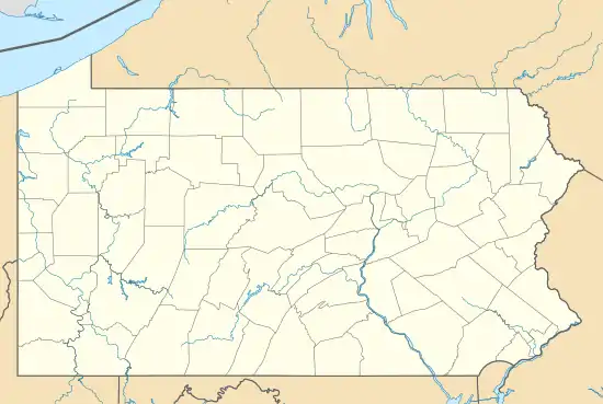
| Coordinates: 40°3′46″N 77°57′49″W / 40.06278°N 77.96361°W | |
| Country | United States |
| State | Pennsylvania |
| County | Fulton |
| Township | Dublin |
| Elevation | 801 ft (244 m) |
| Time zone | UTC-5 (Eastern (EST)) |
| • Summer (DST) | UTC-4 (EDT) |
| ZIP code | 17223 |
| Area code | 717 |
| GNIS feature ID | 1175013[1] |
Fort Littleton is an unincorporated community in Dublin Township in Fulton County, Pennsylvania, United States. Fort Littleton is located at the junction of U.S. Route 522 and Plum Hollow Road, a short distance north of an interchange between US 522 and the Pennsylvania Turnpike (Interstate 76), which is called the Fort Littleton interchange.[2] The town was named for the 18th century Fort Lyttleton and was established near the fort's former location in 1767.[3]
References
- ↑ "Fort Littleton". Geographic Names Information System. United States Geological Survey, United States Department of the Interior.
- ↑ Fulton County, Pennsylvania Highway Map (PDF) (Map). PennDOT. 2014. Retrieved November 10, 2015.
- ↑ "History of Dublin Township," in History of Bedford, Somerset, and Fulton Counties, Pennsylvania, Chicago: Waterman, Watkins & Co., 1884; pp. 594-601, 659-664
Municipalities and communities of Fulton County, Pennsylvania, United States | ||
|---|---|---|
| Boroughs | 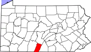 | |
| Townships | ||
| CDP | ||
| Unincorporated communities | ||
| Footnotes | ‡This populated place also has portions in an adjacent county or counties | |
This article is issued from Wikipedia. The text is licensed under Creative Commons - Attribution - Sharealike. Additional terms may apply for the media files.