Gençali | |
|---|---|
 | |
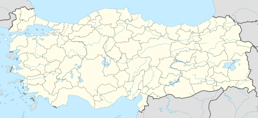  Gençali Location in Turkey | |
| Coordinates: 36°42′11″N 33°25′23″E / 36.70306°N 33.42306°E | |
| Country | Turkey |
| Province | Mersin |
| District | Mut |
| Elevation | 275 m (902 ft) |
| Population (2022) | 278 |
| Time zone | TRT (UTC+3) |
| Postal code | 33600 |
| Area code | 0324 |
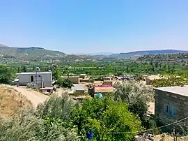
Gençali is a neighbourhood in the municipality and district of Mut, Mersin Province, Turkey.[1] Its population is 278 (2022).[2] It is situated in the Toros Mountains to the east of Göksu River valley. Its distance to Mut is 8 kilometres (5.0 mi) and to Mersin is 173 kilometres (107 mi). The village was founded by two Turkmen tribes named Koçaşlı and Meçesli.[3] Main economic activity is agriculture.
References
- ↑ Mahalle, Turkey Civil Administration Departments Inventory. Retrieved 12 July 2023.
- ↑ "Address-based population registration system (ADNKS) results dated 31 December 2022, Favorite Reports" (XLS). TÜİK. Retrieved 12 July 2023.
- ↑ Mut page (in Turkish)
This article is issued from Wikipedia. The text is licensed under Creative Commons - Attribution - Sharealike. Additional terms may apply for the media files.