Ludell, Kansas | |
|---|---|
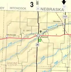 KDOT map of Rawlins County (legend) | |
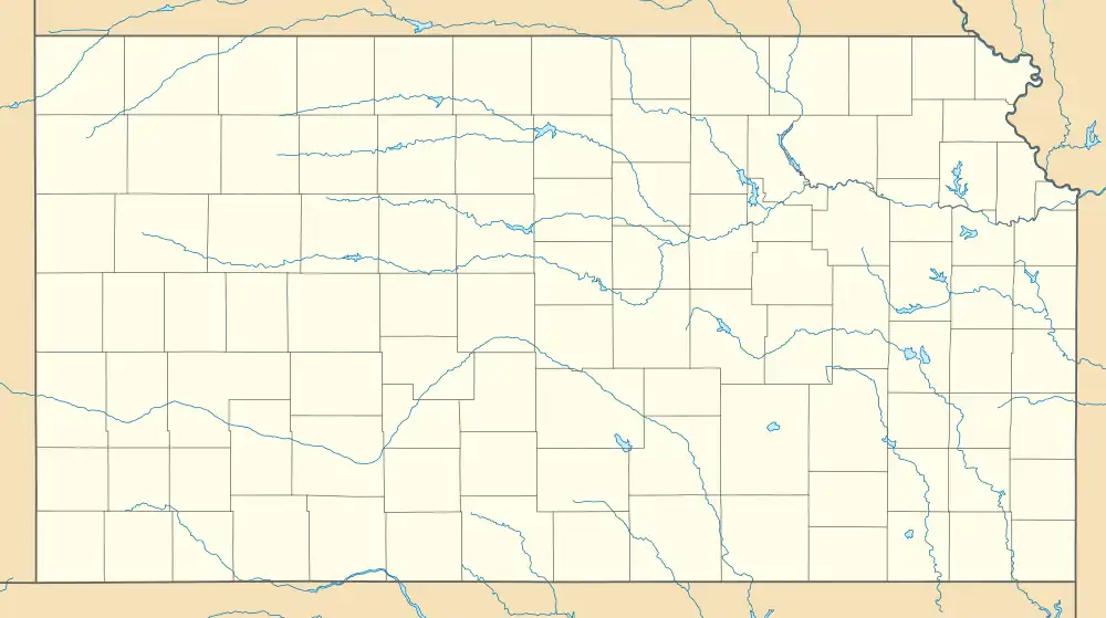  Ludell  Ludell | |
| Coordinates: 39°51′20″N 100°57′36″W / 39.85556°N 100.96000°W[1] | |
| Country | United States |
| State | Kansas |
| County | Rawlins |
| Elevation | 2,782 ft (848 m) |
| Population | |
| • Total | 41 |
| Time zone | UTC-6 (CST) |
| • Summer (DST) | UTC-5 (CDT) |
| ZIP code | 67744 |
| Area code | 785 |
| FIPS code | 20-43175 [1] |
| GNIS ID | 470997 [1] |
Ludell is an unincorporated community in Rawlins County, Kansas, United States.[1] As of the 2020 census, the population of the community and nearby areas was 41.[2] It is 5.5 miles (8.9 km) northeast of Atwood.
History
Ludell has a post office with ZIP code 67744.[3] The first post office in Ludell was established in 1876. From the years 1876 until 1881, the post office was called either Danube, Kelso, or Prag for some time.[4]
Demographics
| Census | Pop. | Note | %± |
|---|---|---|---|
| 2020 | 41 | — | |
| U.S. Decennial Census | |||
For statistical purposes, the United States Census Bureau has defined Ludell as a census-designated place (CDP).
Education
The community is served by Rawlins County USD 105 public school district.
References
- 1 2 3 4 5 "Ludell, Kansas", Geographic Names Information System, United States Geological Survey, United States Department of the Interior
- 1 2 "Profile of Ludell, Kansas (CDP) in 2020". United States Census Bureau. Archived from the original on December 1, 2021. Retrieved November 30, 2021.
- ↑ ZIP Code Lookup
- ↑ "Kansas Post Offices, 1828-1961". Kansas Historical Society. Archived from the original on October 9, 2013. Retrieved June 22, 2014.
Further reading
External links
Municipalities and communities of Rawlins County, Kansas, United States | ||
|---|---|---|
| Cities | 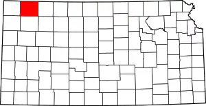 Map of Kansas highlighting Rawlins County | |
| Unincorporated communities | ||
| Ghost town | ||
| Footnotes | †This community is designated a Census-Designated Place (CDP) by the United States Census Bureau. | |
This article is issued from Wikipedia. The text is licensed under Creative Commons - Attribution - Sharealike. Additional terms may apply for the media files.