Manuel Benavides | |
|---|---|
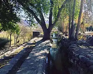 | |
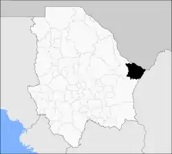 Municipality of Manuel Benavides in Chihuahua | |
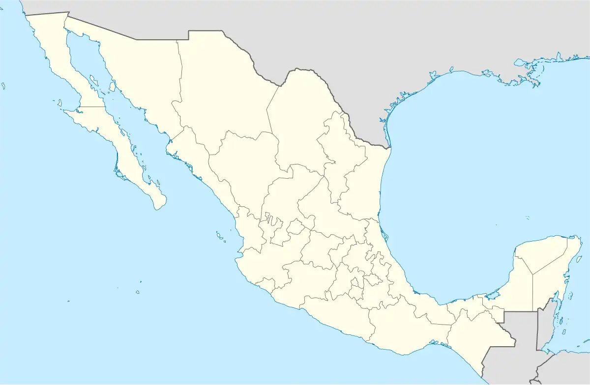  Manuel Benavides Location in Mexico | |
| Coordinates: 29°06′26″N 103°54′23″W / 29.10722°N 103.90639°W | |
| Country |  Mexico Mexico |
| State | Chihuahua |
| Municipal seat | Manuel Benavides |
| Area | |
| • Total | 3,191.5 km2 (1,232.2 sq mi) |
| Population (2010) | |
| • Total | 1,601 |
| • Density | 0.50/km2 (1.3/sq mi) |
Manuel Benavides is one of the 67 municipalities of Chihuahua, in northern Mexico. The municipal seat lies at Manuel Benavides village. The municipality covers an area of 3,191.5 km².
As of the 2010 census, the municipality had a total population of 1,601 .[1][2]
The municipality had 183 localities, none of which had a population over 1,000.[2]
Geography
Towns and villages
The municipality has 115 localities. The largest are:
| Name | 2010 Census Population | |
|---|---|---|
| Manuel Benavides | 916 | |
| Álamos de San Antonio | 131 | |
| Paso de San Antonio (La Hacienda) | 81 | |
| Nuevo Lajitas | 65 | |
| Escobillas de Abajo | 46 | |
| Total Municipality | 1,601 |
Adjacent municipalities and counties
- Ocampo Municipality, Coahuila -southeast-east
- Camargo Municipality - south
- Ojinaga Municipality - west
- Presidio County, Texas - north
- Brewster County, Texas - northeast
References
- ↑ 2010 census tables: INEGI Archived 2013-05-02 at the Wayback Machine accessdate=April 29, 2011
- 1 2 "Manuel Benavides". Catálogo de Localidades. Secretaría de Desarrollo Social (SEDESOL). Retrieved 23 April 2014.
| ||||||||||||||||



 State of Chihuahua State of Chihuahua | ||
|---|---|---|
Chihuahua (capital) | ||
| Cities | 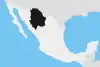 | |
| Municipalities | ||
| Metropolitan areas |
| |
| History | ||
| Sights | ||
| Other topics | ||
This article is issued from Wikipedia. The text is licensed under Creative Commons - Attribution - Sharealike. Additional terms may apply for the media files.