Mouyondzi Airport | |||||||||||
|---|---|---|---|---|---|---|---|---|---|---|---|
| Summary | |||||||||||
| Airport type | Closed | ||||||||||
| Serves | Mouyondzi, Republic of the Congo | ||||||||||
| Elevation AMSL | 1,670 ft / 509 m | ||||||||||
| Coordinates | 4°00′53″S 13°57′59″E / 4.01472°S 13.96639°E | ||||||||||
| Map | |||||||||||
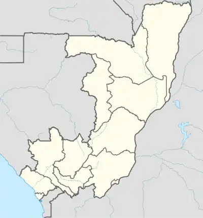  MUY Location of airport in the Republic of the Congo | |||||||||||
| Runways | |||||||||||
| |||||||||||
Source: Great Circle Mapper[1] | |||||||||||
Mouyondzi Airport (IATA: MUY, ICAO: FCBM) was an airstrip 5 kilometres (3.1 mi) east of the town of Mouyondzi, in the Bouenza Department of the Republic of the Congo. The land is now under cultivation.[2][3]
References
- ↑ Airport information for MUY at Great Circle Mapper.
- ↑ "Old image of Mouyandzi Airport". HERE WeGo. HERE. Retrieved 25 March 2018.
- ↑ "Later image of runway area". Bing Maps. Microsoft. Retrieved 25 March 2018.
External links
- OpenStreetMap - Mouyondzi Airport
- Mouyondzi - Google Maps - 7/20/4014
This article is issued from Wikipedia. The text is licensed under Creative Commons - Attribution - Sharealike. Additional terms may apply for the media files.