Nippes (5) | |
|---|---|
 | |
Location within Cologne 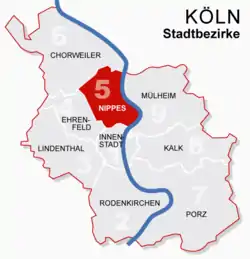 | |
  Nippes (5) 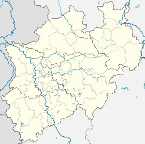 Nippes (5) | |
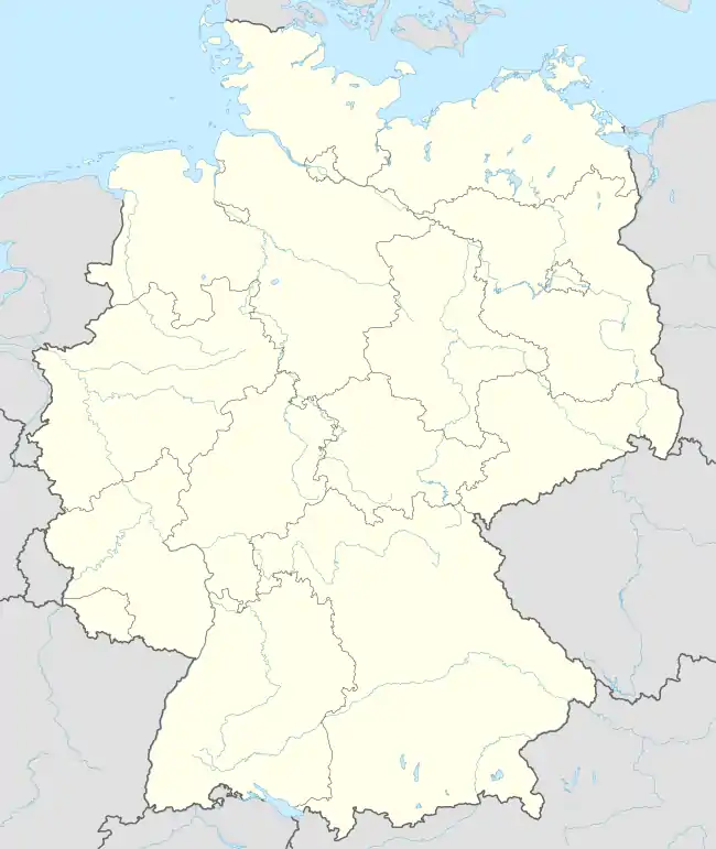
| Coordinates: 50°57′52″N 6°57′30″E / 50.9644°N 6.95833°E | |
| Country | Germany |
| State | North Rhine-Westphalia |
| Admin. region | Cologne |
| District | Urban district |
| City | Cologne |
| Area | |
| • Total | 31.75 km2 (12.26 sq mi) |
| Population (2020-12-31)[1] | |
| • Total | 117,130 |
| • Density | 3,700/km2 (9,600/sq mi) |
| Time zone | UTC+01:00 (CET) |
| • Summer (DST) | UTC+02:00 (CEST) |
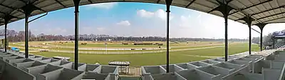
Nippes (German: Köln-Nippes; Kölsch: Neppes [ˈne²pəs]) is the fifth borough (Stadtbezirk) of Cologne, Germany. Nippes was incorporated into the city of Cologne in 1888 and the district was created in 1975. A large Ford Europe production plant is located in Niehl, the north-eastern part of the district.
Nippes borders the Cologne boroughs of Chorweiler to the north, Mülheim to the east, Innenstadt to the south, and Ehrenfeld to the south-west.
Subdivisions
Nippes consists of seven Stadtteile (city parts):
| # | City part | Population (2009) | Area (km2) | Pop. per km2 | map |
|---|---|---|---|---|---|
| 501 | Nippes | 33,948 | 2,99 | 11,351 | 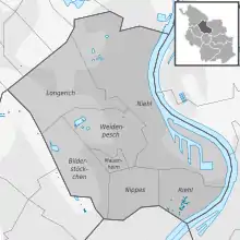 |
| 502 | Mauenheim | 5,641 | 0,49 | 11,543 | |
| 503 | Riehl | 11,173 | 2,39 | 4,674 | |
| 504 | Niehl | 18,249 | 12,1 | 1,512 | |
| 505 | Weidenpesch | 13,566 | 3,91 | 3,469 | |
| 506 | Longerich | 13,536 | 6,14 | 2,203 | |
| 507 | Bilderstöckchen | 15,028 | 3,76 | 3,992 | |
| source: Die Kölner Stadtteile in Zahlen 2010 (in German) | |||||
Transport
Nippes is served by numerous railway stations and main highways. Stations include Köln-Nippes, Köln Geldernstraße/Parkgürtel, and Köln-Longerich, as well as numerous light rail stations on Cologne Stadtbahn lines 12, 15, 16, and 18. Bundesautobahn 57 connects Nippes to the Cologne motorway ring.
Rhine bridges
Notable people
- Fritz Schramma (born 1947), mayor of Cologne from 2000 until 2009
- Gaby Köster (born 1961), actress and cabaret artist
References
- ↑ "Kölner Stadtteilinformationen 2020" (PDF). Stadt Köln. Retrieved 27 September 2021.
External links

- Official webpage of the district (in German)
|  | |