Sedletín | |
|---|---|
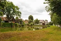 Veselá, a part of Sedletín | |
 Flag  Coat of arms | |
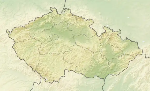  Sedletín Location in the Czech Republic | |
| Coordinates: 49°42′31″N 15°33′52″E / 49.70861°N 15.56444°E | |
| Country |  Czech Republic Czech Republic |
| Region | Vysočina |
| District | Havlíčkův Brod |
| First mentioned | 1400 |
| Area | |
| • Total | 7.27 km2 (2.81 sq mi) |
| Elevation | 568 m (1,864 ft) |
| Population (2023-01-01)[1] | |
| • Total | 300 |
| • Density | 41/km2 (110/sq mi) |
| Time zone | UTC+1 (CET) |
| • Summer (DST) | UTC+2 (CEST) |
| Postal code | 583 01 |
| Website | www |
Sedletín is a municipality and village in Havlíčkův Brod District in the Vysočina Region of the Czech Republic. It has about 300 inhabitants.
Sedletín lies approximately 13 kilometres (8 mi) north of Havlíčkův Brod, 36 km (22 mi) north of Jihlava, and 92 km (57 mi) south-east of Prague.
Administrative parts
The village of Veselá is an administrative part of Sedletín.
References

Wikimedia Commons has media related to Sedletín.
This article is issued from Wikipedia. The text is licensed under Creative Commons - Attribution - Sharealike. Additional terms may apply for the media files.