Stadtlengsfeld | |
|---|---|
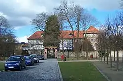 Lengsfeld Castle | |
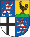
 Coat of arms | |
Location of Stadtlengsfeld | |
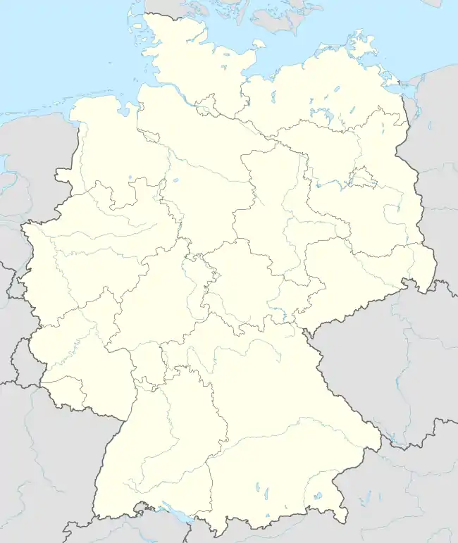  Stadtlengsfeld 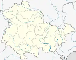 Stadtlengsfeld | |
| Coordinates: 50°47′N 10°8′E / 50.783°N 10.133°E | |
| Country | Germany |
| State | Thuringia |
| District | Wartburgkreis |
| Municipality | Dermbach |
| Area | |
| • Total | 27.61 km2 (10.66 sq mi) |
| Elevation | 272 m (892 ft) |
| Population (2017-12-31) | |
| • Total | 2,356 |
| • Density | 85/km2 (220/sq mi) |
| Time zone | UTC+01:00 (CET) |
| • Summer (DST) | UTC+02:00 (CEST) |
| Postal codes | 36457 |
| Dialling codes | 036965 |
| Website | www.stadt-stadtlengsfeld.eu |
Stadtlengsfeld is a town and a former municipality in the Wartburgkreis district of Thuringia, Germany. Since 1 January 2019, it is part of the municipality Dermbach. It is situated in the Rhön Mountains, 8 km southwest of Bad Salzungen.
History
Within the German Empire (1871-1918), Stadtlengsfeld was part of the Grand Duchy of Saxe-Weimar-Eisenach.
It was the site of the Menzengraben mining accident in 1953.
Sister cities
External links
 Media related to Stadtlengsfeld at Wikimedia Commons
References
- ↑ "Testvértelepülések". Retrieved 30 April 2014.
This article is issued from Wikipedia. The text is licensed under Creative Commons - Attribution - Sharealike. Additional terms may apply for the media files.