Stewart, Mississippi | |
|---|---|
 | |
  Stewart, Mississippi 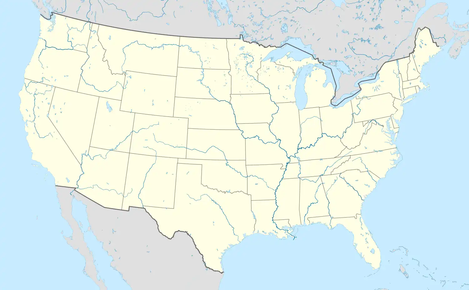 Stewart, Mississippi | |
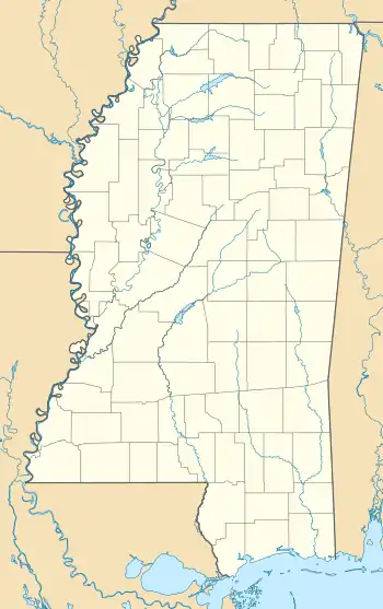
| Coordinates: 33°27′02″N 89°26′10″W / 33.45056°N 89.43611°W | |
| Country | United States |
| State | Mississippi |
| County | Montgomery |
| Area | |
| • Total | 1.13 sq mi (2.92 km2) |
| • Land | 1.13 sq mi (2.92 km2) |
| • Water | 0.00 sq mi (0.00 km2) |
| Elevation | 351 ft (107 m) |
| Population (2020) | |
| • Total | 99 |
| • Density | 87.77/sq mi (33.90/km2) |
| Time zone | UTC-6 (Central (CST)) |
| • Summer (DST) | UTC-5 (CDT) |
| ZIP code | 39767 |
| Area code | 662 |
| GNIS feature ID | 678280[2] |
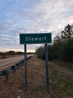
Stewart is a census-designated place and unincorporated community in Montgomery County, Mississippi, United States.[2]
U.S. Route 82 passes through Stewart, and the Big Black River flows south of the settlement.
The Stewart Volunteer Fire Department is located in Stewart.[3]
History
The Georgia Pacific Railway completed a line through Stewart in late 1880s.[4]
By 1906, Stewert had a post office and a population of 200.[5]
A bed of iron ore located 3 mi (4.8 km) north of Stewart was mined during the 1950s, and shipped by railway to Birmingham, Alabama for processing.[6]
It was first named as a CDP in the 2020 Census which listed a population of 99.[7]
Demographics
| Census | Pop. | Note | %± |
|---|---|---|---|
| 2020 | 99 | — | |
| U.S. Decennial Census[8] 2020[9] | |||
2020 census
| Race / Ethnicity | Pop 2020[9] | % 2020 |
|---|---|---|
| White alone (NH) | 91 | 91.92% |
| Black or African American alone (NH) | 4 | 4.04% |
| Native American or Alaska Native alone (NH) | 1 | 1.01% |
| Asian alone (NH) | 0 | 0.00% |
| Pacific Islander alone (NH) | 0 | 0.00% |
| Some Other Race alone (NH) | 0 | 0.00% |
| Mixed Race/Multi-Racial (NH) | 3 | 3.03% |
| Hispanic or Latino (any race) | 0 | 0.00% |
| Total | 99 | 100.00% |
Note: the US Census treats Hispanic/Latino as an ethnic category. This table excludes Latinos from the racial categories and assigns them to a separate category. Hispanics/Latinos can be of any race.
References
- ↑ "2020 U.S. Gazetteer Files". United States Census Bureau. Retrieved July 24, 2022.
- 1 2 "Stewart, Mississippi". Geographic Names Information System. United States Geological Survey, United States Department of the Interior.
- ↑ "Fire Services". Montgomery County Board of Supervisors. Retrieved October 26, 2018.
- ↑ Poor's Manual of Railroads. H.V. & H.W. Poor. 1893. p. 562.
- ↑ Rowland, Dunbar (1907). Mississippi: Comprising Sketches of Counties, Towns, Events, Institutions, and Persons, Arranged in Cyclopedic Form. Vol. 2. Southern Historical Publishing Association. p. 733.
- ↑ Kern, Marshall K. (1963). An Investigation of Mississippi Iron Ores (PDF). Mississippi Geological, Economic and Topographical Survey. pp. 28, 32.
- ↑ "Stewart CDP, Mississippi". United States Census Bureau. Retrieved March 13, 2022.
- ↑ "Decennial Census of Population and Housing by Decades". US Census Bureau.
- 1 2 "P2 HISPANIC OR LATINO, AND NOT HISPANIC OR LATINO BY RACE - 2020: DEC Redistricting Data (PL 94-171) - Stewart CDP, Mississippi". United States Census Bureau.
Municipalities and communities of Montgomery County, Mississippi, United States | ||
|---|---|---|
| City | 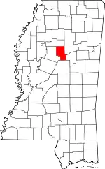 Map of Mississippi highlighting Montgomery County | |
| Towns | ||
| CDP | ||
| Other communities | ||
| Ghost town | ||