Trausdorf an der Wulka
Trajštof | |
|---|---|
.jpg.webp) Municipal office | |
 Coat of arms | |
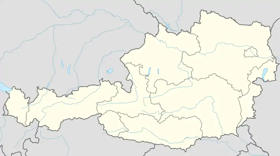  Trausdorf an der Wulka Location within Austria | |
| Coordinates: 47°49′N 16°33′E / 47.817°N 16.550°E | |
| Country | Austria |
| State | Burgenland |
| District | Eisenstadt-Umgebung |
| Government | |
| • Mayor | Viktor Hergovich (SPÖ) |
| Area | |
| • Total | 15.44 km2 (5.96 sq mi) |
| Elevation | 151 m (495 ft) |
| Population (2018-01-01)[2] | |
| • Total | 2,064 |
| • Density | 130/km2 (350/sq mi) |
| Time zone | UTC+1 (CET) |
| • Summer (DST) | UTC+2 (CEST) |
| Postal code | 7061 |
| Area code | 02682 (same as Eisenstadt) |
| Website | www.trausdorf.eu |
Trausdorf an der Wulka (Burgenland Croatian: Trajštof, Hungarian: Darázsfalu) is a town in the district of Eisenstadt-Umgebung in the Austrian state of Burgenland. It is on the Wulka river.
Population
| Year | Pop. | ±% |
|---|---|---|
| 1869 | 1,152 | — |
| 1880 | 1,308 | +13.5% |
| 1890 | 1,214 | −7.2% |
| 1900 | 1,286 | +5.9% |
| 1910 | 1,340 | +4.2% |
| 1923 | 1,333 | −0.5% |
| 1934 | 1,450 | +8.8% |
| 1939 | 1,435 | −1.0% |
| 1951 | 1,406 | −2.0% |
| 1961 | 1,303 | −7.3% |
| 1971 | 1,328 | +1.9% |
| 1981 | 1,456 | +9.6% |
| 1991 | 1,647 | +13.1% |
| 2001 | 1,723 | +4.6% |
| 2011 | 1,883 | +9.3% |
| 2021 | 2,067 | +9.8% |
References
- ↑ "Dauersiedlungsraum der Gemeinden Politischen Bezirke und Bundesländer - Gebietsstand 1.1.2018". Statistics Austria. Retrieved 10 March 2019.
- ↑ "Einwohnerzahl 1.1.2018 nach Gemeinden mit Status, Gebietsstand 1.1.2018". Statistics Austria. Retrieved 9 March 2019.
This article is issued from Wikipedia. The text is licensed under Creative Commons - Attribution - Sharealike. Additional terms may apply for the media files.