Tyler Heights, West Virginia | |
|---|---|
  Tyler Heights  Tyler Heights | |
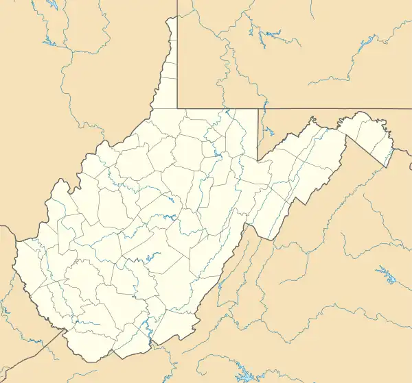
| Coordinates: 38°25′52″N 81°45′13″W / 38.43111°N 81.75361°W | |
| Country | United States |
| State | West Virginia |
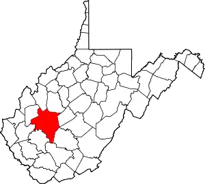
| County | Kanawha |
| Elevation | 689 ft (210 m) |
| Time zone | UTC-5 (Eastern (EST)) |
| • Summer (DST) | UTC-4 (EDT) |
| Area code(s) | 304 & 681 |
| GNIS feature ID | 1554471[1] |
Tyler Heights, also known as Flatwoods,[1] is an unincorporated community in Kanawha County, West Virginia, United States. Tyler Heights is located along West Virginia Route 622 at its junction with West Virginia Route 501, 5 miles (8.0 km) east-northeast of Nitro.[2]
References
- 1 2 "Tyler Heights". Geographic Names Information System. United States Geological Survey, United States Department of the Interior.
- ↑ Kanawha County, West Virginia General Highway Map (PDF) (Map). West Virginia Department of Transportation. 2011. § 1. Retrieved February 6, 2012.
This article is issued from Wikipedia. The text is licensed under Creative Commons - Attribution - Sharealike. Additional terms may apply for the media files.