Wahi Pandhi | |
|---|---|
Permanent agriculture and nomadic tribes | |
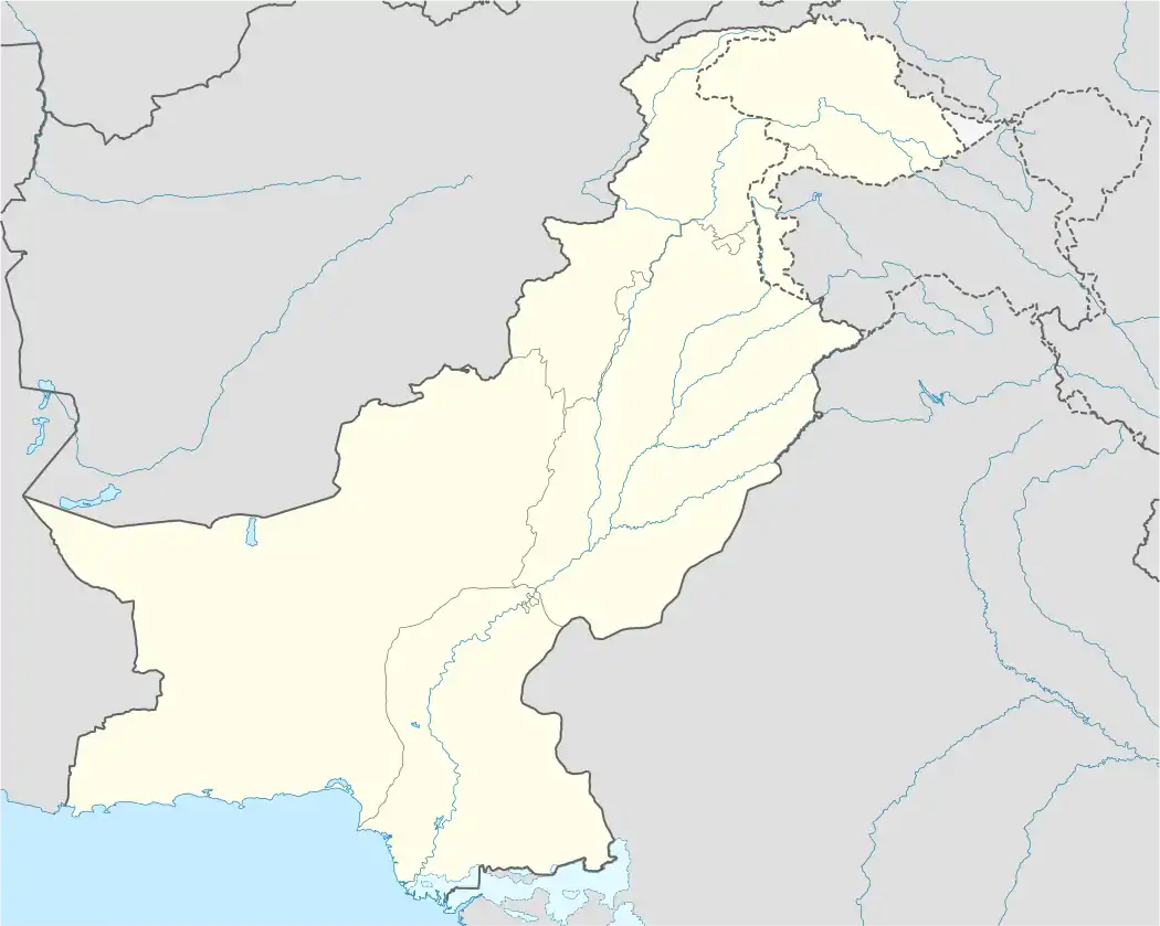  Wahi Pandhi | |
| Coordinates: 26°39′36″N 67°21′18″E / 26.66°N 67.355°E | |
| Country | Pakistan |
| Province | Sindh |
| • Density | 400/km2 (1,000/sq mi) |
| Time zone | UTC+5 (PST) |
Wahi Pandhi (Sindhi: واهي پانڌي, Urdu: واہی پاندھی) is a town near Johi,[1][2] Dadu District of Sindh, Pakistan.[3] A road from Wahi Pandhi leads to Gorakh Hill.[4][5] There is an archaeological mound, locally famous as 'Kotero Daro'[6] was explored by N. G. Majumdar during his explorations in Sindh from 1926 to 1929.[7] The pottery of Amri[8] and Harappan phase was explored at the mound.[9]
Gallery
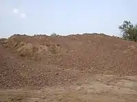 Village mounds at Wahi Pandhi (SD-13), a cultural heritage monument in Sindh
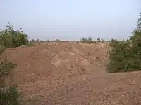 Ancient mound at Wahi Pandhi (SD-14), a cultural heritage monument in Sindh
References
- ↑ Khushik, Qurban Ali (October 31, 2016). "Flooding after dyke breach destroys seven villages, crops near Johi". DAWN.COM.
- ↑ "Rs 4 billion corruption in Gorakh Hill projects, claims Liaquat Jatoi - Pakistan Today". www.pakistantoday.com.pk.
- ↑ "Wahi Pandhi woes over oil company". The Express Tribune. 30 July 2016. Retrieved 18 March 2017.
- ↑ "Gorakh Hill – The Magical Peak in Pictures". SAMAA TV. Retrieved 18 March 2017.
- ↑ Khaskheli, Jan. "A rusty route". The News (Pakistan). Retrieved 18 March 2017.
- ↑ "Kotero Daro, Dadu". heritage.eftsindh.com. Retrieved 2020-08-12.
- ↑ "Wahi Pandhi Archeaological Mound, Johi, District Dadu". antiquities.sindhculture.gov.pk.
- ↑ "Amri". Discover Pakistan.
- ↑ Hyder, Ali. "Brief Description of Archaeological Sites and Monuments of Sindh" – via www.academia.edu.
{{cite journal}}: Cite journal requires|journal=(help)
This article is issued from Wikipedia. The text is licensed under Creative Commons - Attribution - Sharealike. Additional terms may apply for the media files.