Ward Township | |
|---|---|
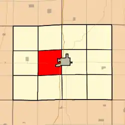 Location in Clarke County | |
| Coordinates: 41°01′28″N 093°50′28″W / 41.02444°N 93.84111°W | |
| Country |  United States United States |
| State |  Iowa Iowa |
| County | Clarke |
| Area | |
| • Total | 32.92 sq mi (85.27 km2) |
| • Land | 32.77 sq mi (84.88 km2) |
| • Water | 0.15 sq mi (0.38 km2) 0.45% |
| Elevation | 1,142 ft (348 m) |
| Population (2000) | |
| • Total | 228 |
| • Density | 7/sq mi (2.7/km2) |
| GNIS feature ID | 0468892 |
Ward Township is a township in Clarke County, Iowa, USA. As of the 2000 census, its population was 228.
Geography
Ward Township covers an area of 32.92 square miles (85.3 km2) and contains no incorporated settlements. According to the USGS, it contains one cemetery, Cox.
References
External links
Municipalities and communities of Clarke County, Iowa, United States | ||
|---|---|---|
| Cities | 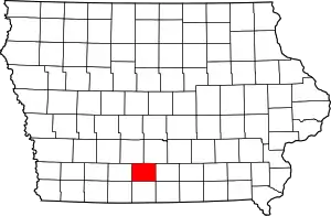 Map of Iowa highlighting Clarke County | |
| Townships | ||
| Unincorporated communities | ||
This article is issued from Wikipedia. The text is licensed under Creative Commons - Attribution - Sharealike. Additional terms may apply for the media files.